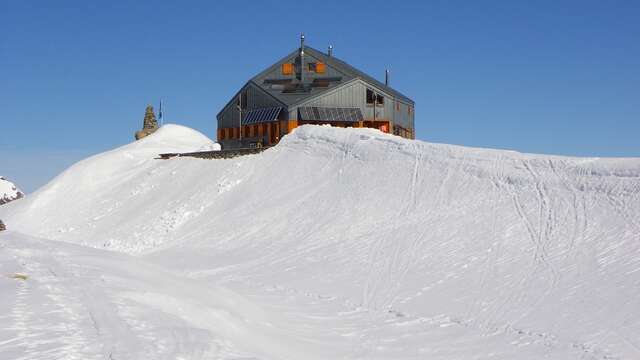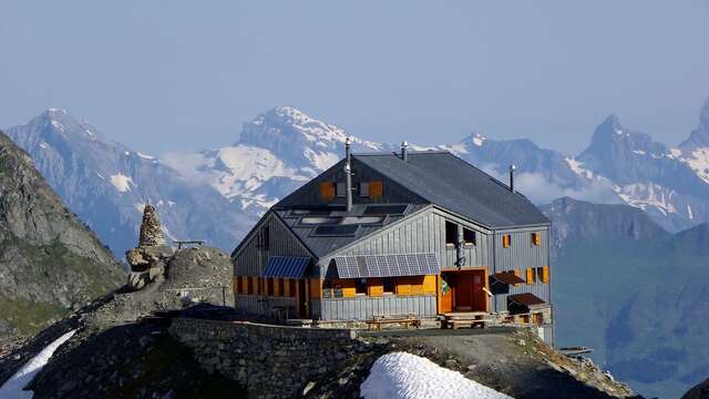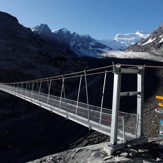

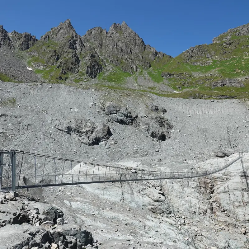
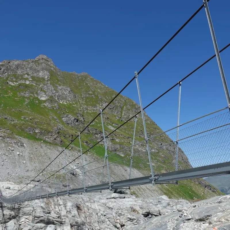
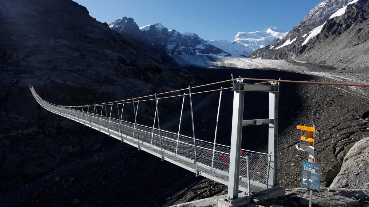
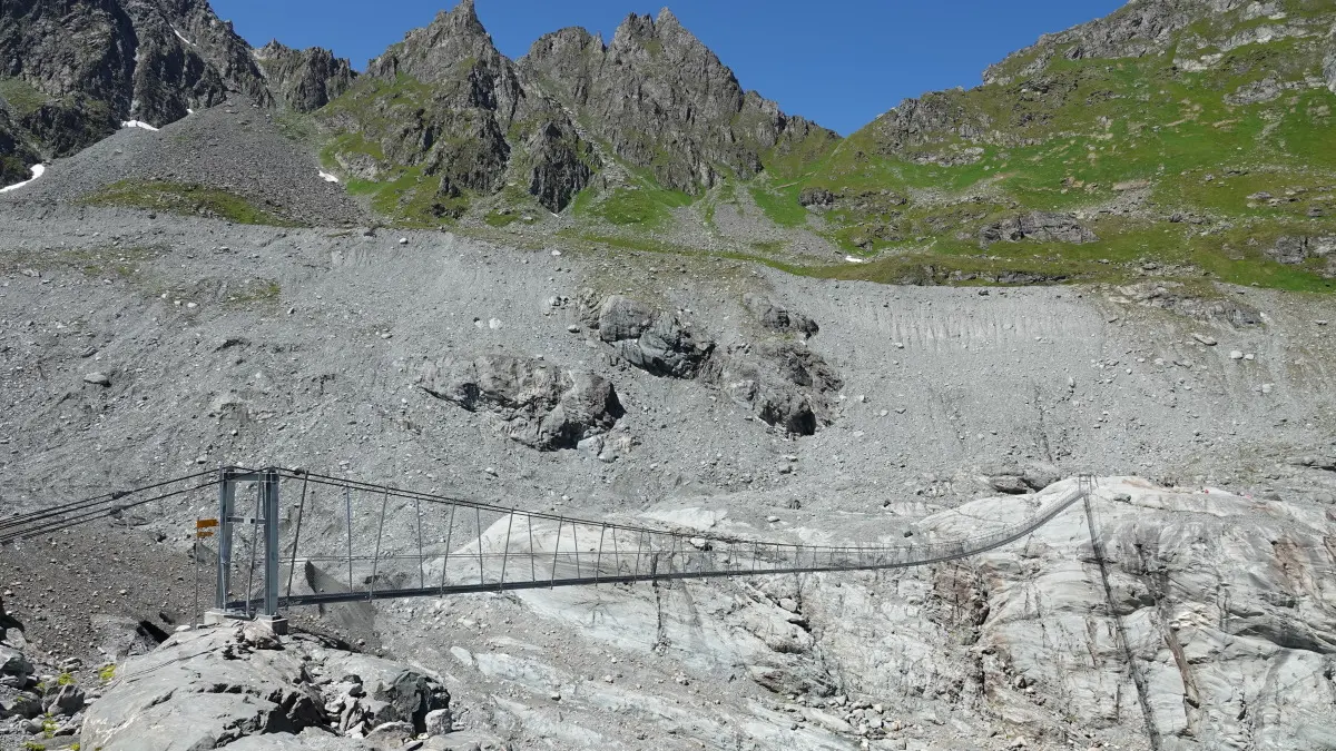
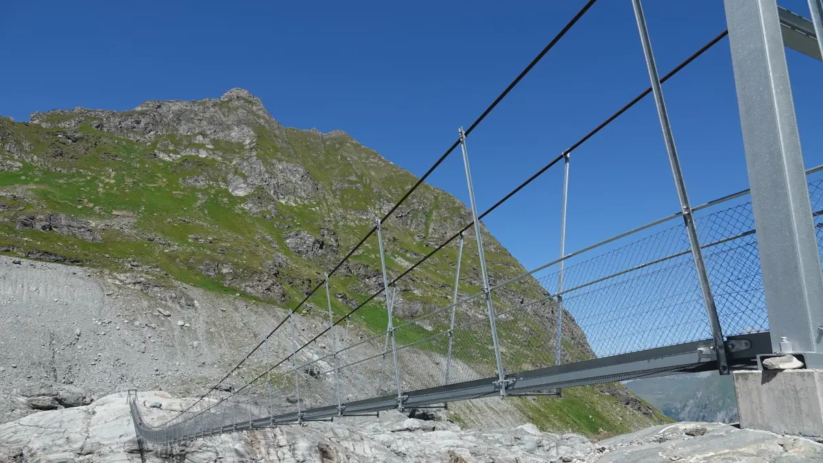
The Passerelle de Corbassière: not for the faint of heart!
Inaugurated in 2014, this impressive footbridge crosses the moraine of the Corbassière glacier. With a length of 210 metres and a height of 70 metres, it links the Brunet and Panossière huts. Hikers come from far and wide to play with their emotions on this safe bridge. The Passerelle de Corbassière is used for major hiking tours such as the Tour des Combins, and is also a good place for a day trip.
Here's some information on how to get to the footbridge. There are several routes available.
THE TRAVEL TIME (below) IS A SINGLE ROUTE, YOU MUST DOUBLE THE TIME FOR THE RETURN ROUTE.
1. Mauvoisin : Depart from Hôtel Mauvoisin towards Col des Otanes | Time : 3-4 h / distance : 8.4km / altitude difference : +1028 m -518 m
2. Bonatchiesse: Departure from the restaurant: Take the Bonatchiesse path, at the second junction take the old path to the Col des Otanes, coming down from the FXB Panossière hut take the path on the left for the footbridge | Time: 4-5 h / distance: 8.6km / ascent: +1289 m -509 m
3. Fionnay : Departure from the Fionnay Tourist Office : Take the path behind the office towards the Cabane FXB Panossière | Time : 2-3 h / distance : 5.7km / difference in altitude : +927 m -48 m
4. Lourtier: Leave the old railway station after the river and take the path towards Cabane Brunet. Once you reach the Cabane Brunet, there are 2 options:
- Bottom of Bec de Sery (easy): Time: 4-5 h / distance: 9.9km / altitude difference: +1376 m -120 m
- Col des Avouillons (advanced) : Time: 4-5 h / distance: 9.9km / ascent: +1596 m - 331 m
4. Lourtier: From the Barmasse car park, take the footpath into the forest. At the crossroads, take the path on the right that climbs up in front of the 3 chalets. This path climbs straight up under the hut. Once at the hut, you have 2 options:
- Bottom of Bec de Sery (easy): Time: 3-4 h / distance: 7.9km / altitude difference: + 1148 m -100 m
- Col des Avouillons (advanced) : Time: 4-5 h / distance: 8.4km / ascent: +1382 m -335 m
5. Cabane Brunet: 2 ways of getting to the footbridge:
- bottom of Bec de Sery (+-easy) : Time: 1-2 h / distance: 5km / ascent: +349 m -96 m
- Col des Avouillons (advanced): Time 2-3 h / distance: 5.5km / ascent: +590 m -337 m