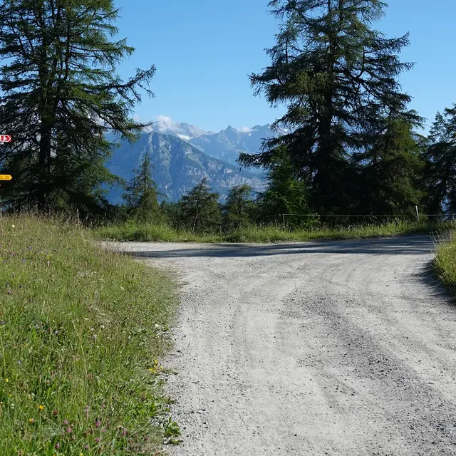
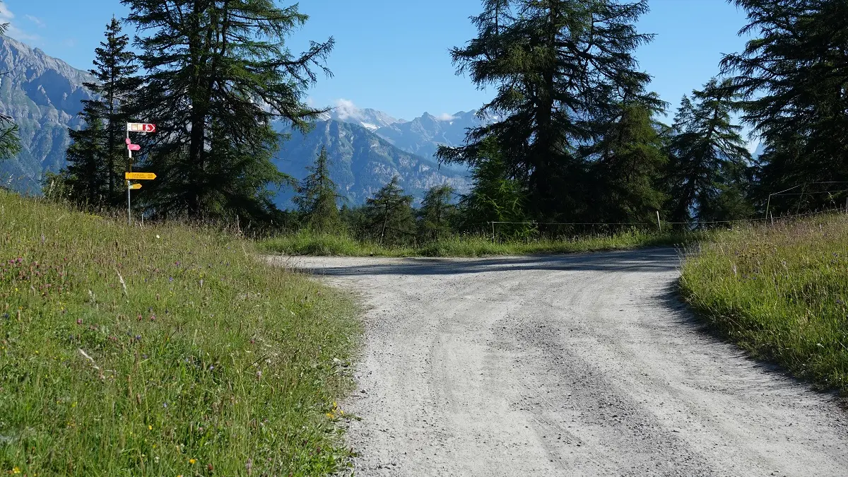
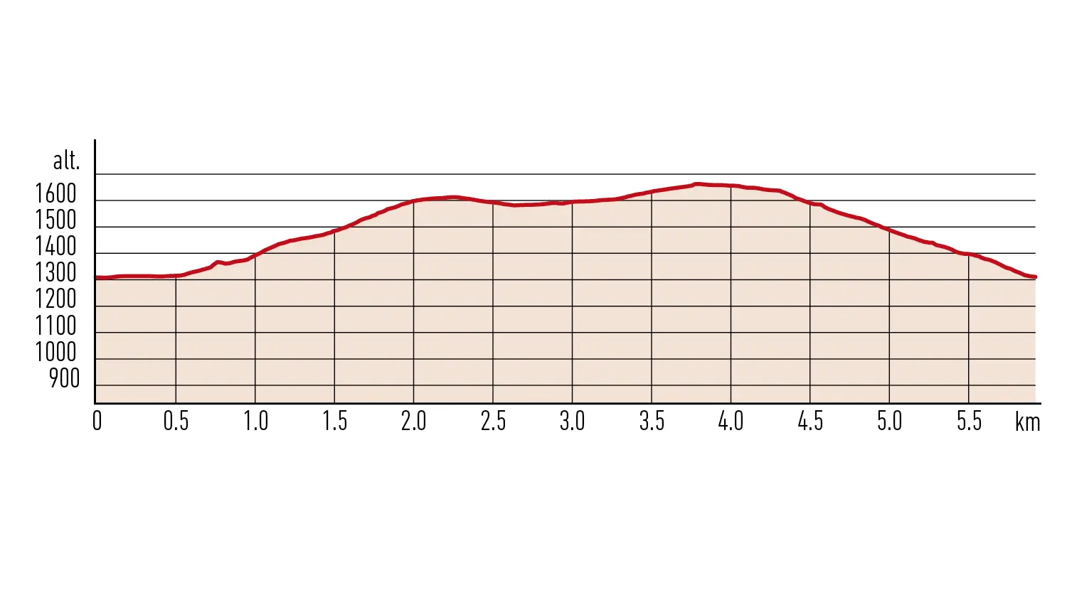
After parking by the church, head to the western end of the village of Levron (1,313 m), in the direction of Col du Tronc. The route, which follows the hiking trail, rises gradually as it skirts along the edge of the forest to reach the Col du Tronc. Once at the pass (1,580 m), two options are available:
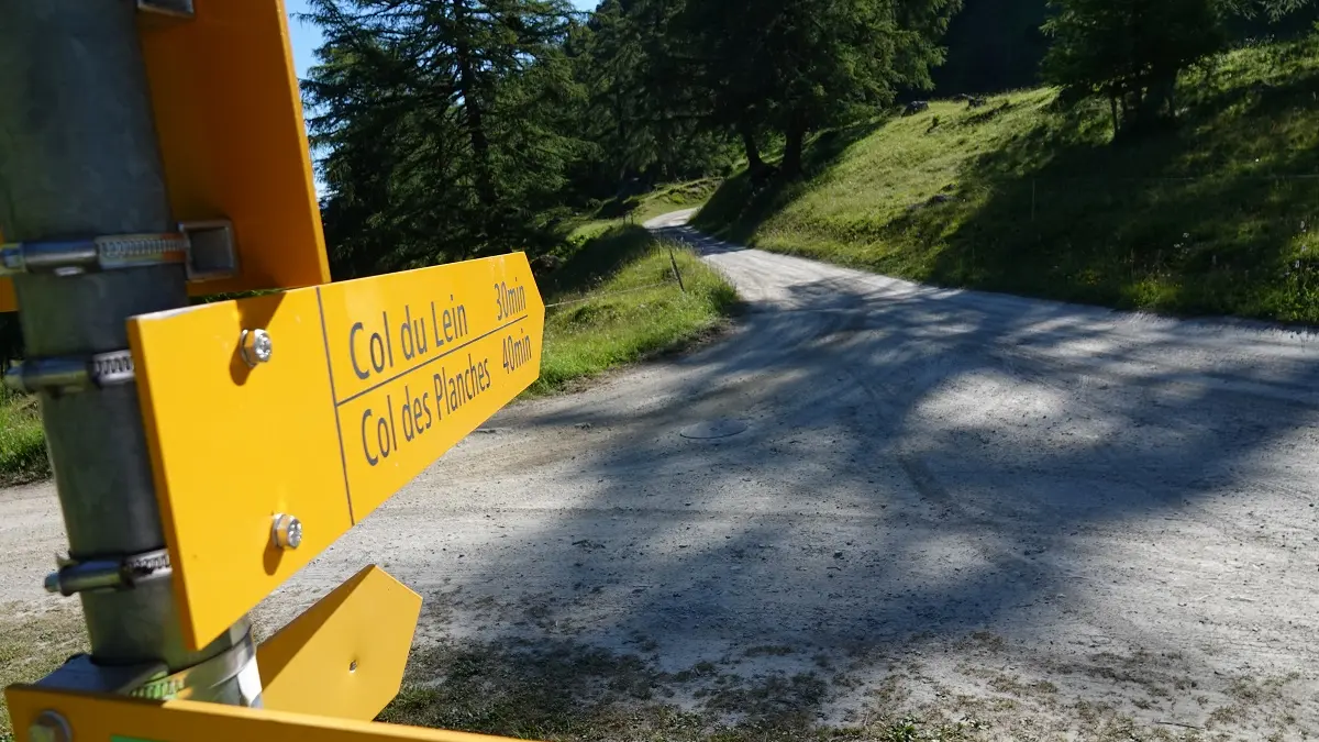
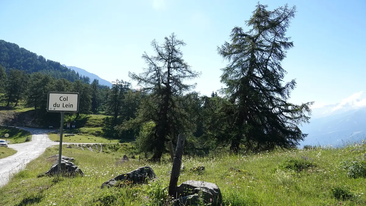
- Follow the road in the direction of Col du Lein (1,656 m), a quiet spot with its own charm, then return to Levron on a path that passes through the larch forest.
– If you’re feeling more athletic, make a detour along the route to La Crevasse (1,807 m) to admire the magnificent views of Entremont. The hike from Col du Tronc to La Crevasse and back again takes around 1 hour.
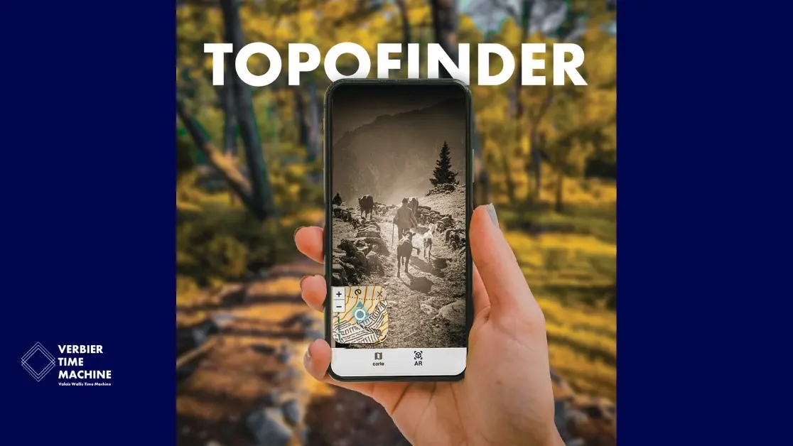
The Levron route via the two passes is also available on the Topofinder app: a free app (smartphone/web) that transforms your walk into an interactive experience. By following the GPS map, you will discover the meaning of place names, stories, anecdotes and local history that tell the story of the Val de Bagnes region through the centuries at several points along the way. Topofinder invites you to explore not only the landscape but also its history: a wonderful way to learn as you walk and make your hike even more rewarding.
Read the stories behind the lieux-dits of Val de Bagnes. The free Topofinder app offers augmented hikes exploring the toponyms of Val de Bagnes. Along the way, you’ll uncover the etymology of certain place names, tales from residents, and local legends that have shaped the Val de Bagnes landscape through the centuries. A Valais Wallis Time Machine project in collaboration with the Municipality of Val de Bagnes.
Read more