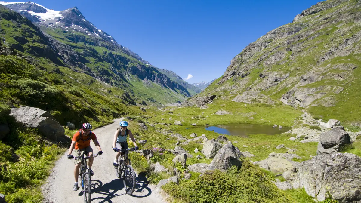
From Mauvoisin, set off to discover a spectacular itinerary combining human ingenuity and wild nature, between tunnels carved out of the rock, a turquoise lake and the unspoilt landscapes of the Haut Val de Bagnes.
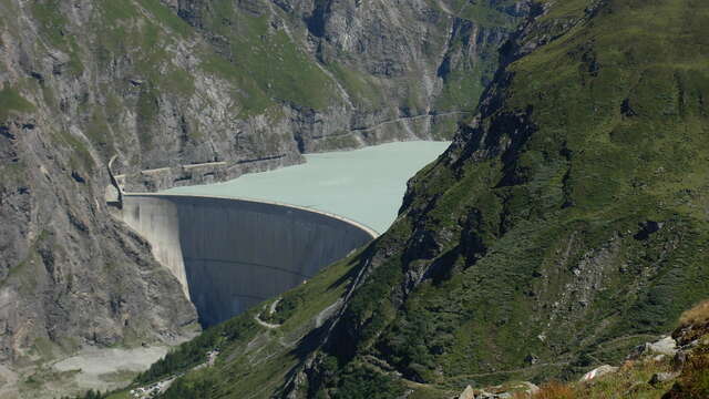
The trail starts at the foot of the famous Mauvoisin dam, an impressive feat of engineering culminating at 250 metres and the highest arch in Europe. After a short climb, the path crosses the top of the dam, offering a breathtaking panorama of the Val de Bagnes.
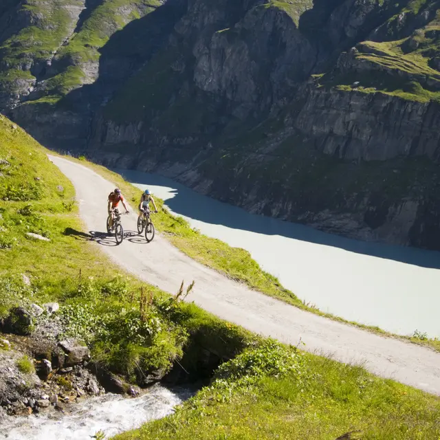
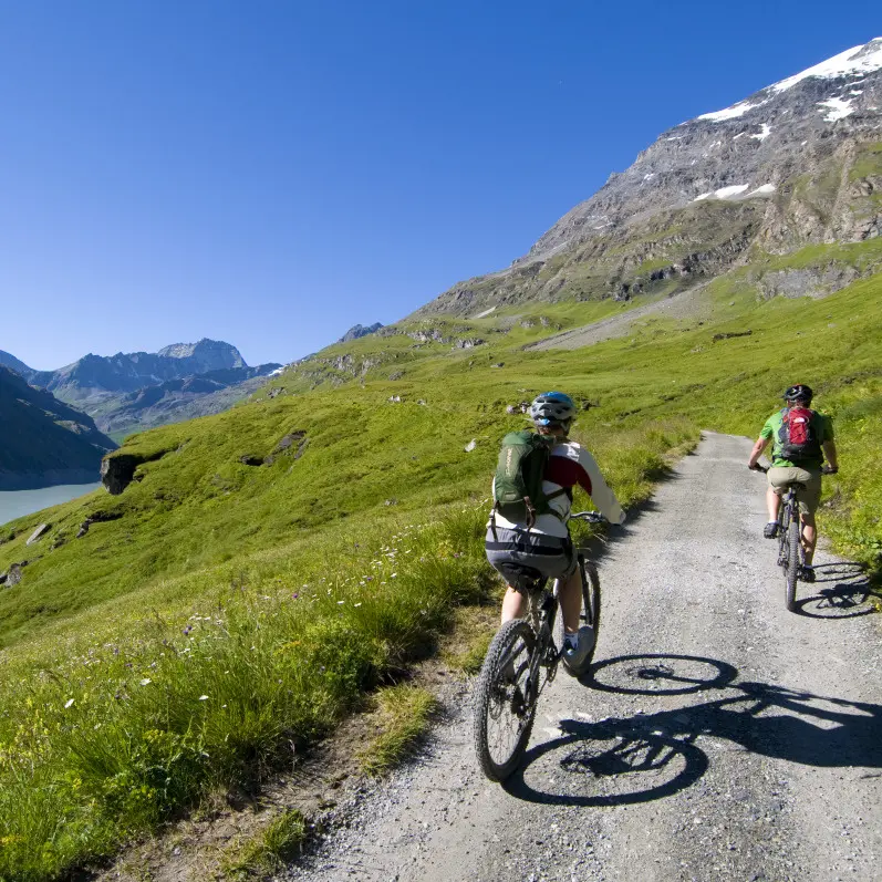
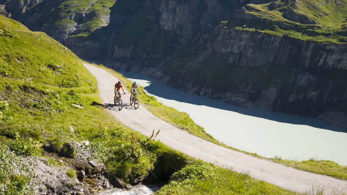
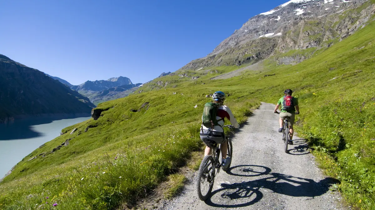
You then enter a series of galleries and tunnels cut into the mountain. These underground passages, which are refreshing in summer, gradually open out onto a more open path that runs alongside the calm waters of Lac de Mauvoisin. Surrounded by imposing peaks and unspoilt nature, the route winds through one of the most beautiful protected areas in the Haut Val de Bagnes.
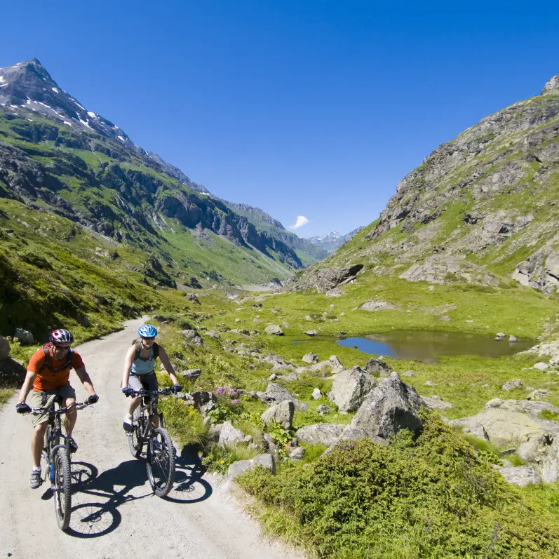
The route takes you to the Écuries de la Lia, remnants of a time when these places served as a refuge for herds at altitude, and then on to the Vingt-Huit site, which marks the turn-off point. The return journey to Mauvoisin follows the same route, allowing you to admire one last time the striking contrasts between alpine architecture and wild landscape.
Please take the time to assess your physical condition and abilities. Use of the various routes is always at your own risk.