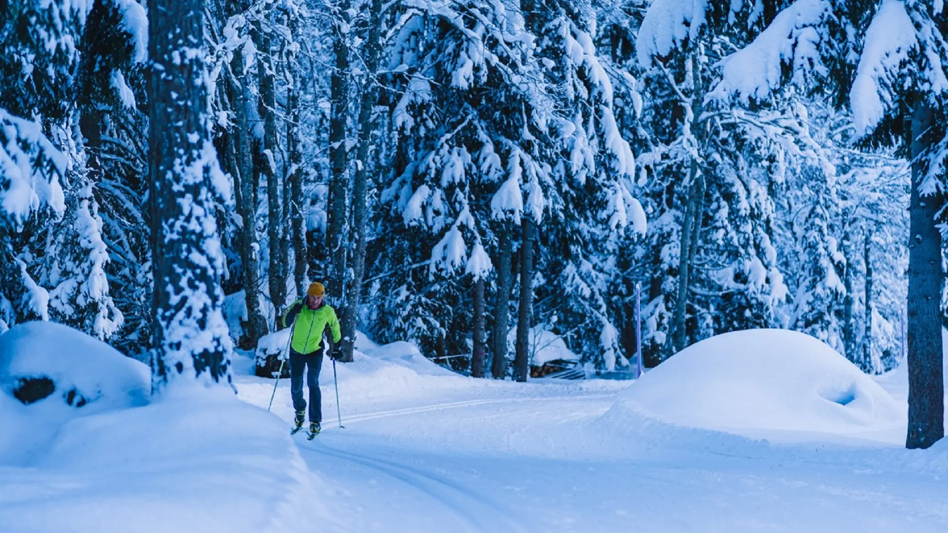
It then turns downward, circling the southern part of the village until it reaches the edge of the Dranse river. The trail then loops briefly before crossing a bridge to the reach ‘Le Proheu’ on the left bank. Across a series of flat sections, climbs and descents, the trail follows the splendid relief of this second segment.
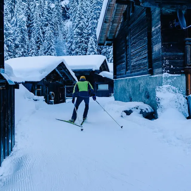
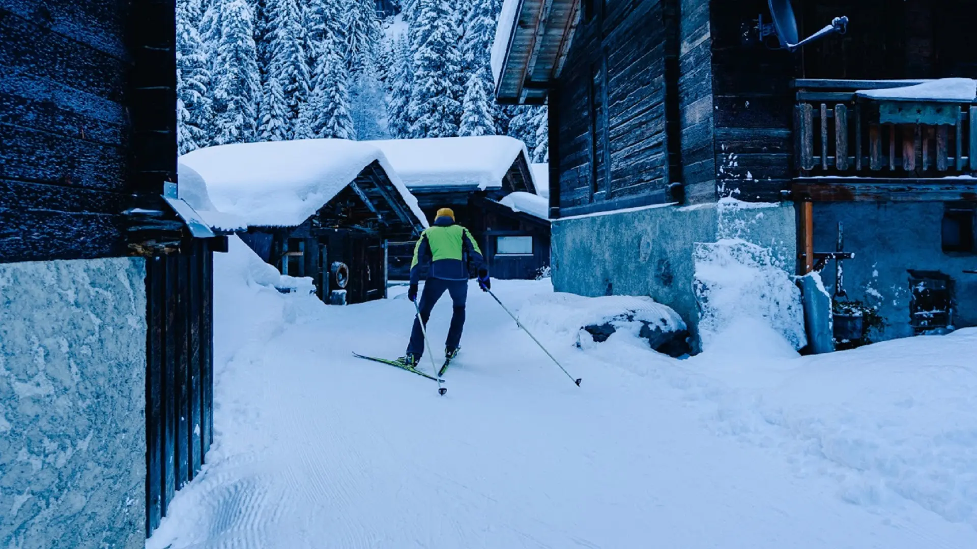
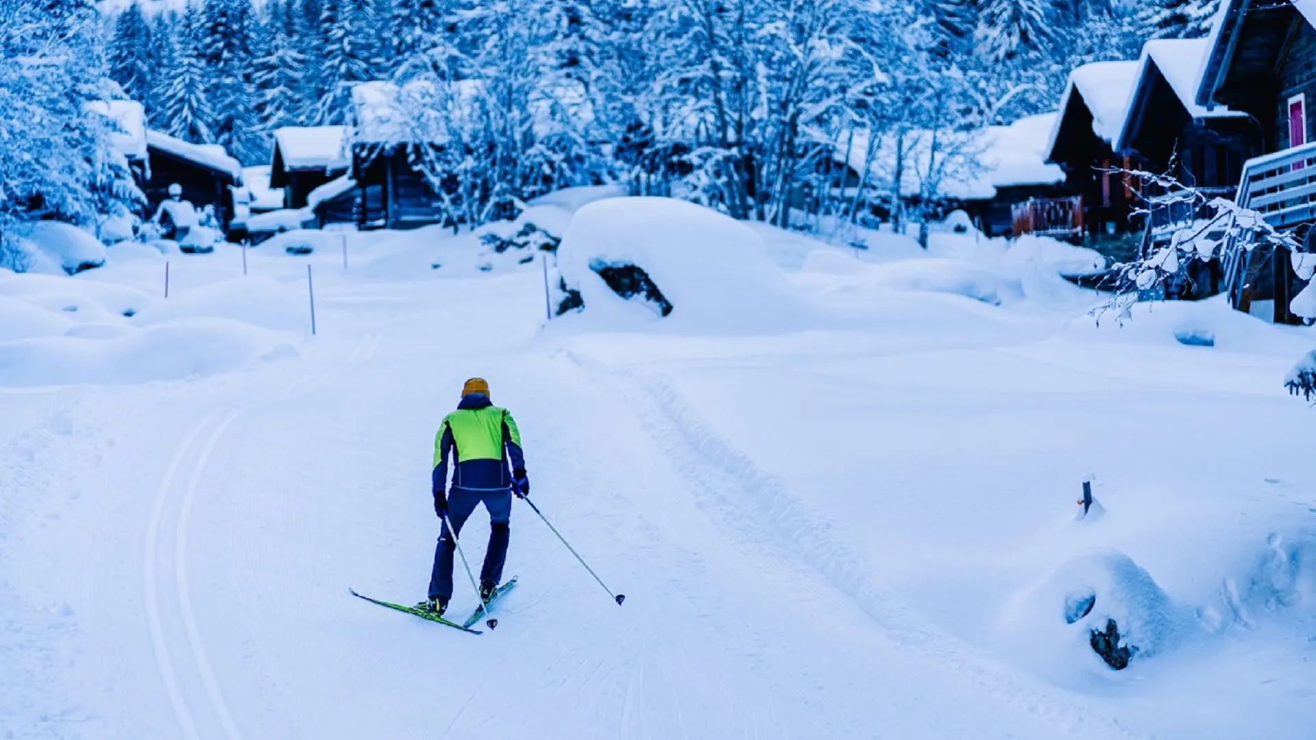
It is via a forest route that the circuit leaves this false plateau to reach the traditional spring pasture and chalet area (‘mayen’) of La Shleye. There, crossing the last bridge at 1335 metres, it returns to the right bank to follow the flat ground of the cantonal road as far as Granges Neuves. From there it dives into the prairie down below, and then rises again through a series of ‘S’ to the village, where it ends 3 kilometres later slaloming among the ‘mayen’ cottages.
Read more