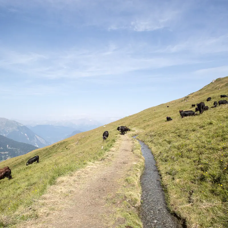
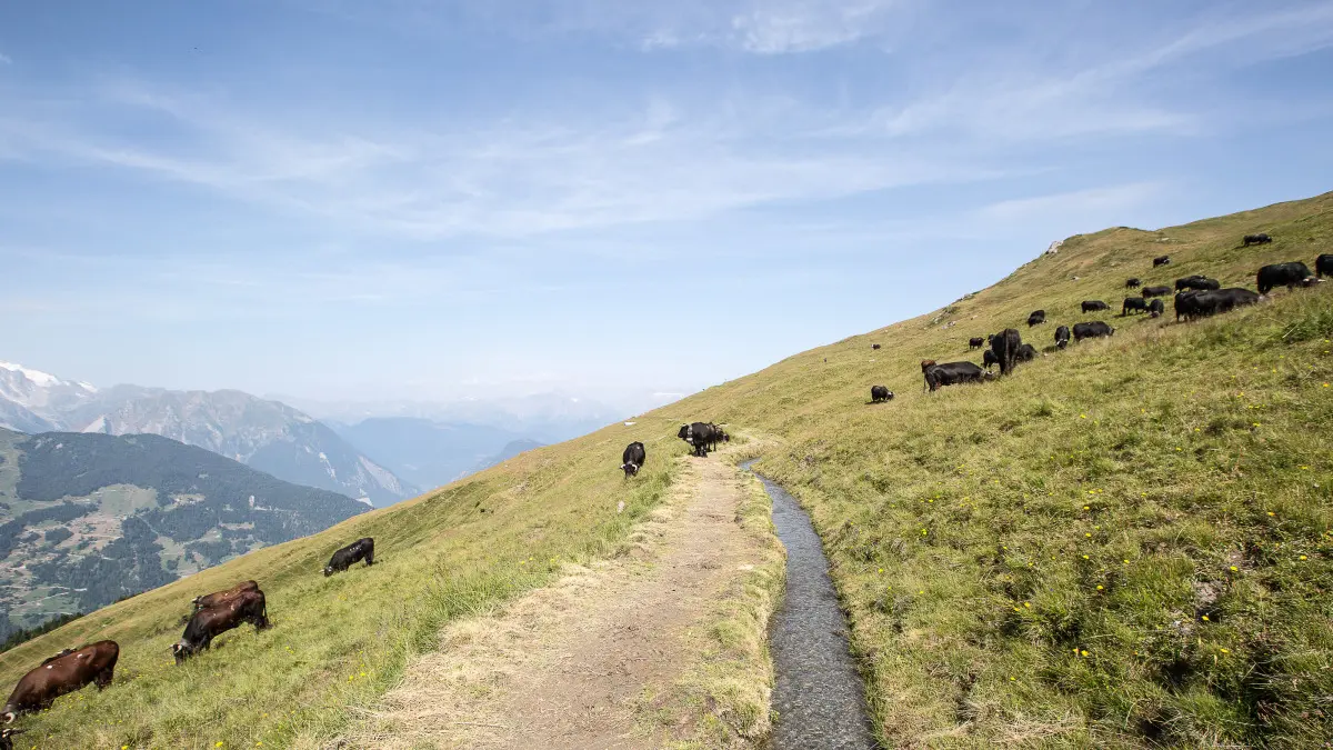
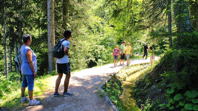
Combining stunning mountain views with tales of the mountains, this circular walk around Les Ruinettes blends hiking with exploring the local area.
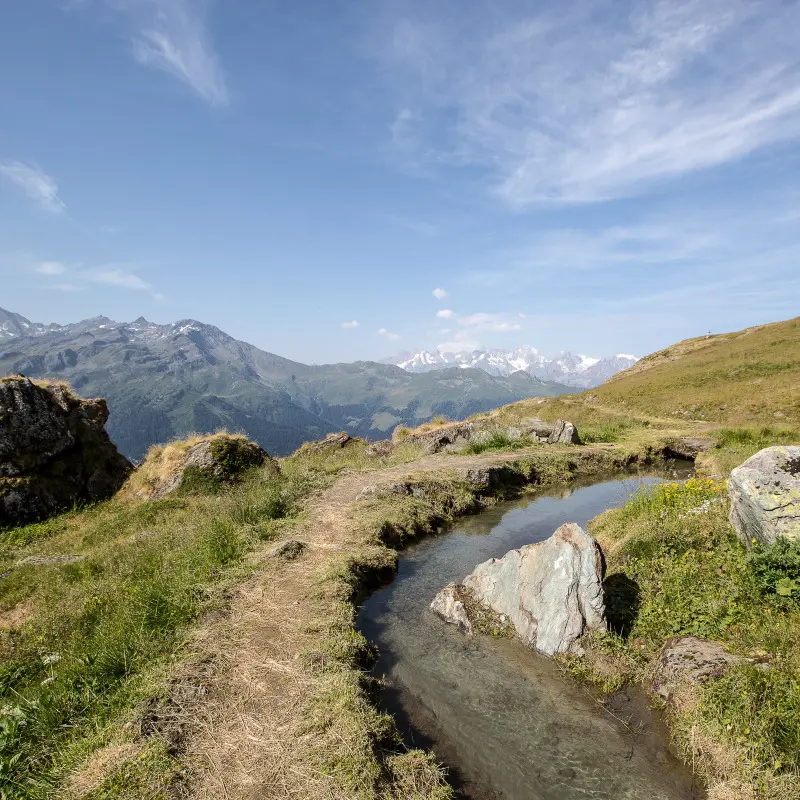
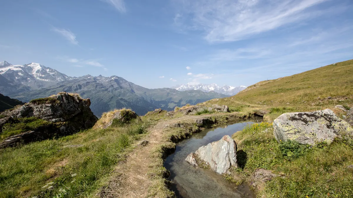
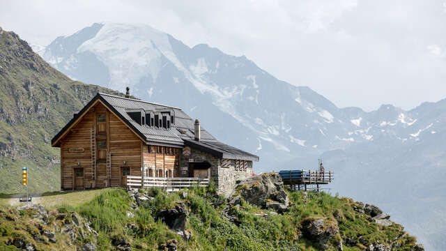
From Les Ruinettes, the route heads towards La Chaux before climbing towards the Cabane Mont Fort via the Raye des Verbiérins. Up there, the peaks open up all around you before a gentler traverse along the Bisse du Levron takes you back to Les Ruinettes.
To enhance your walk, the route is also available on the free Topofinder app. Thanks to the interactive GPS map, you can discover along the way the meanings of place names, tales, anecdotes and local stories that recount the history of the Val de Bagnes through the centuries.
Topofinder invites you to explore not only the landscape but also its history: a wonderful way to learn whilst walking and to make your hike even richer in discoveries.
A project by the Valais Wallis Time Machine association in collaboration with the Municipality of Val de Bagnes.
Please take the time to assess your physical condition and abilities. Use of the various routes is always at your own risk.