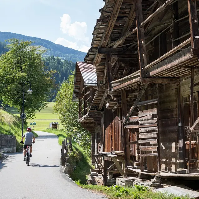
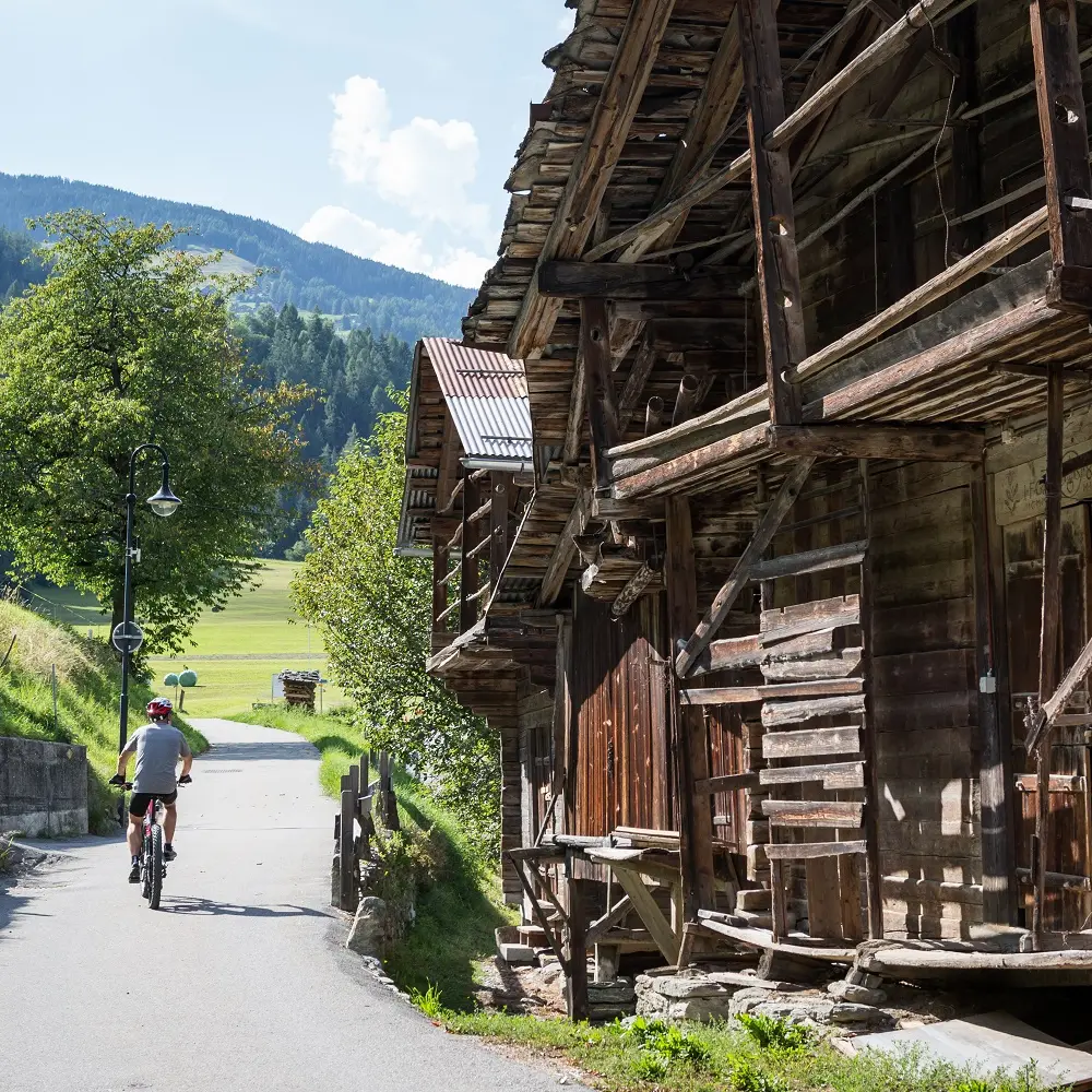
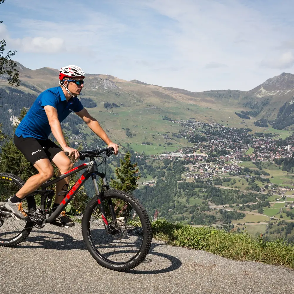
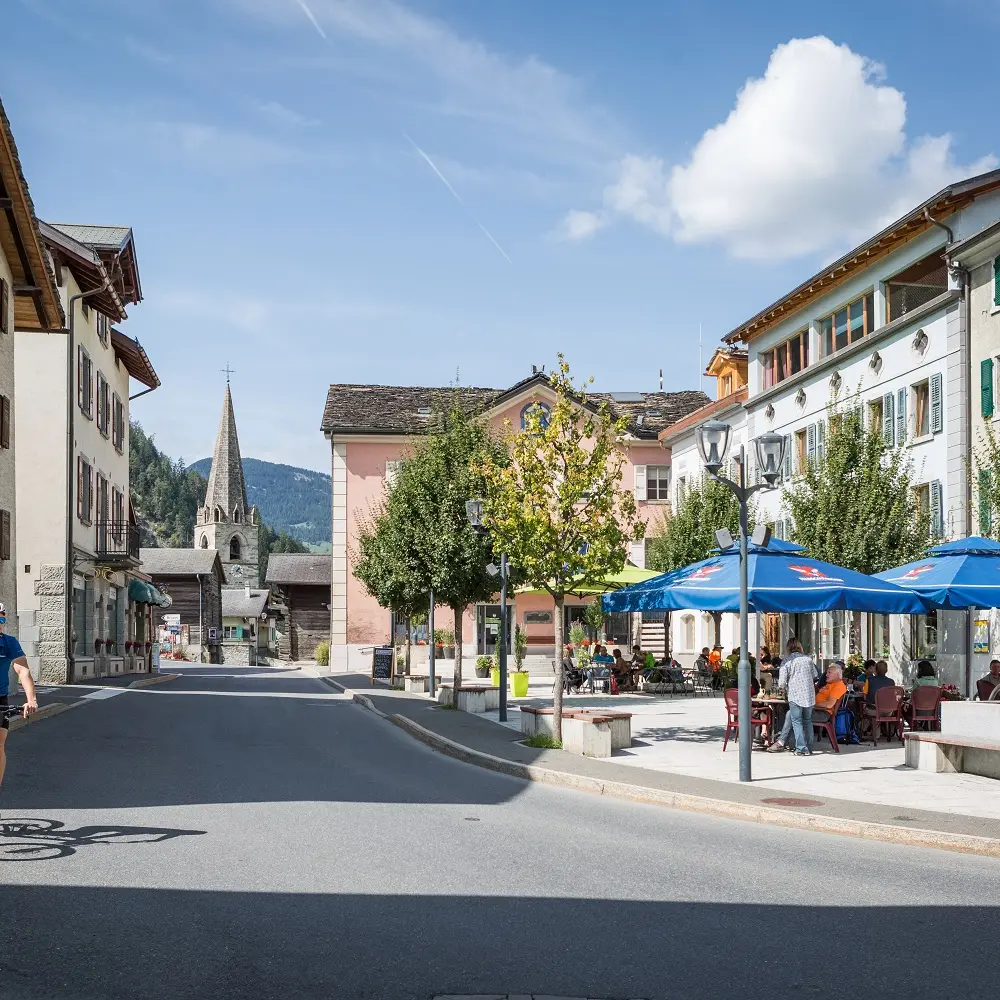
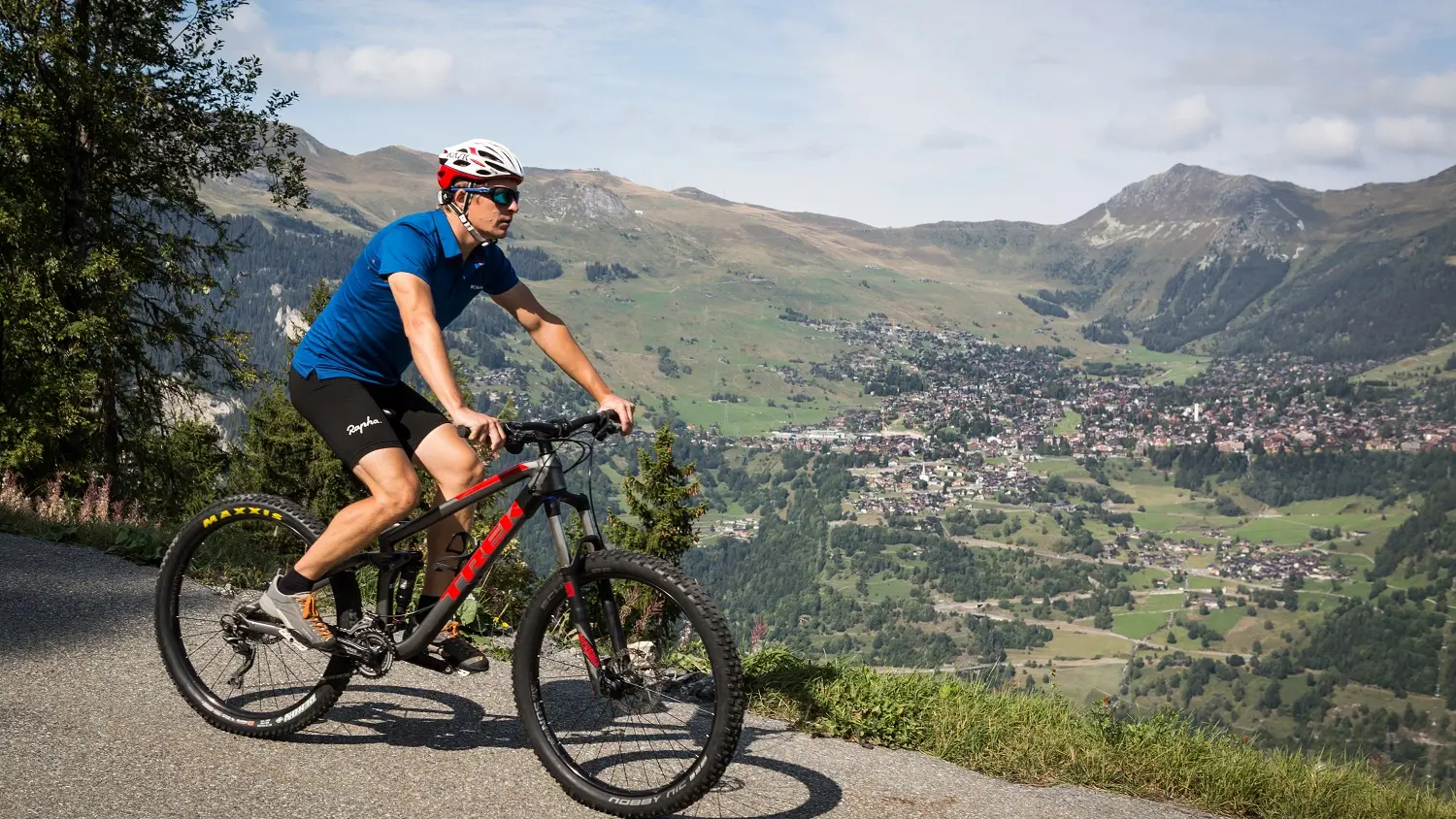
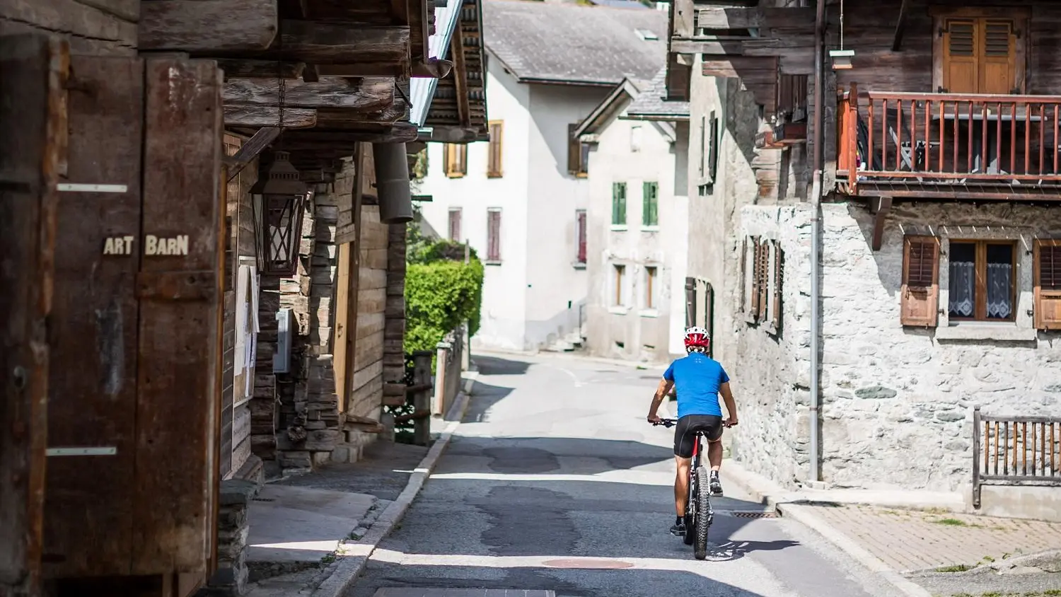
Pars à vélo depuis Le Châble pour une boucle de 24 km entre hameaux, forêts et prairies, et découvre les secrets bien gardés du Val de Bagnes à travers une expo photo unique en pleine nature.
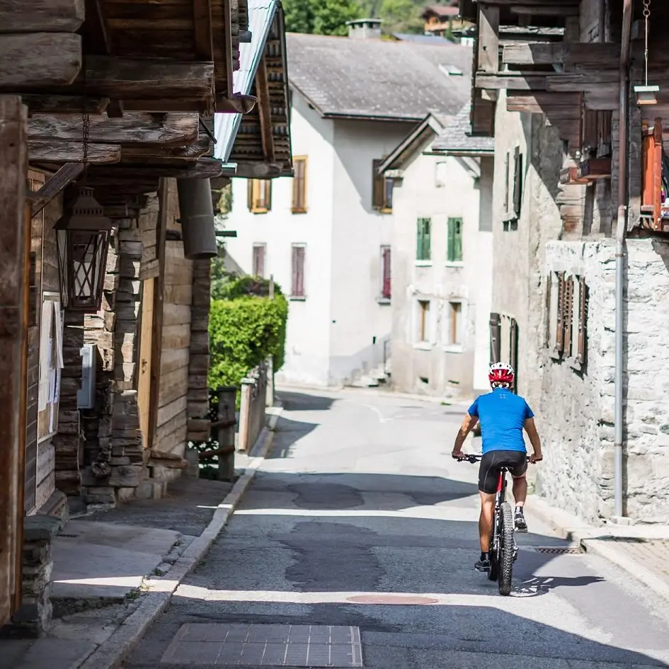
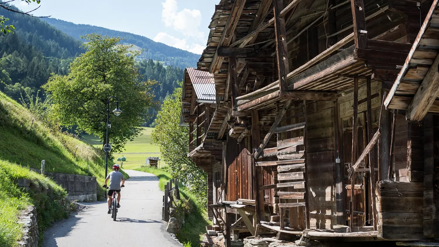
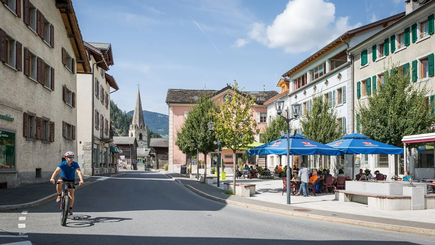
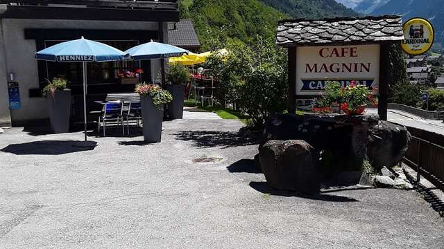
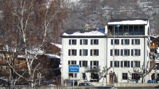
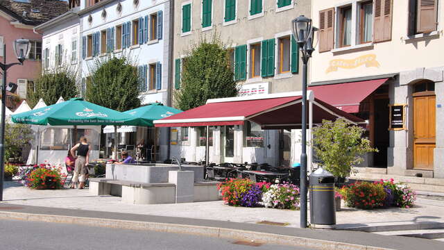
Le parcours commence tranquillement au Châble (821 m) et t’emmène à travers les villages typiques de Charançon, Cotterg, Montagnier, Champsec, Versegères et Prarreyer. En route, tu traverses des paysages variés — pâturages verdoyants, forêts ombragées et hameaux pleins de charme — avant de grimper en douceur vers Bruson en passant par Le Sappey. Une belle boucle, accessible et ressourçante, idéale pour une escapade à la demi-journée.
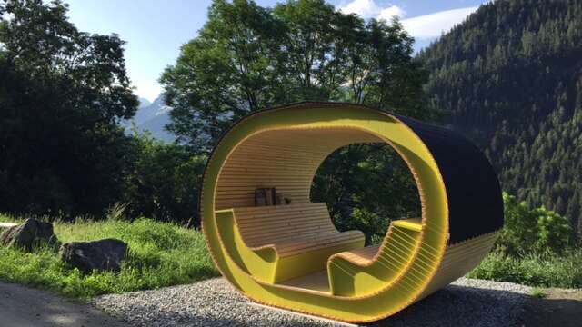
Créé en 1991 à l’occasion des 700 ans de la Confédération suisse, le Chemin des 700 ans mêle plaisir de l’effort doux et richesse culturelle. Tout au long de l’itinéraire, tu découvriras l’exposition en plein air "Les Secrets du Val de Bagnes", une série de photographies grand format nées de rencontres entre onze artistes et les habitants de la vallée.
À travers ces images poétiques et authentiques, ce sont des savoirs oubliés, des symboles naturels et des traditions vivantes qui se révèlent : plantes médicinales, langage des arbres, pierres à cupules, gestes transmis de génération en génération… Un autre regard sur la vallée, entre mémoire et émerveillement.
Attention, prends bien le temps d’évaluer ta condition physique et tes capacités. L’utilisation des différents itinéraires se fait toujours à tes propres risques.